Surveying. Geoinformation. 3D.
We survey properties, set out construction sites and build 3D models. Surveying office in Lower Austria and Vienna.
What we survey
From the property boundary to the 3D model: we handle all the survey work your project needs.
Cadastral & Property Surveying
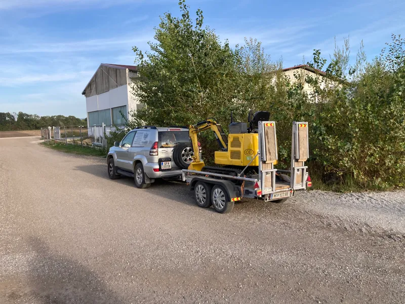
Boundary determination, subdivision plans, cadastral corrections and official boundary negotiations. We clarify your property boundaries with legal certainty and prepare all necessary documents for the land register and survey office.
For: Property owners, developers, municipalities
Send enquiry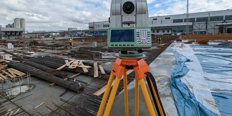
Engineering Surveys
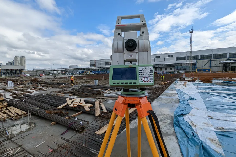
Site plans, setting-out, control measurements and as-built surveys. Planning, permit applications and construction all build on this data.
For: Architects, planners, construction companies
Send enquiry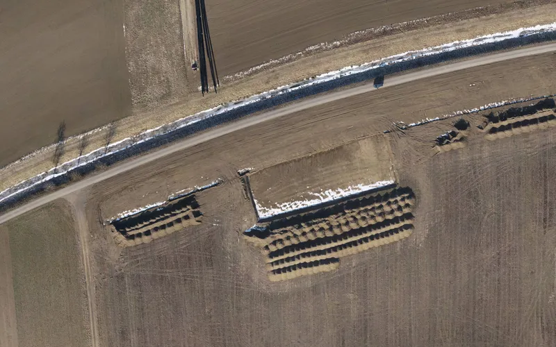
Drone Surveying & Photogrammetry
Aerial images, orthophotos, 3D volume calculations and digital terrain models. With a drone we can cover large areas quickly.
For: Developers, planning offices, municipalities
Send enquiry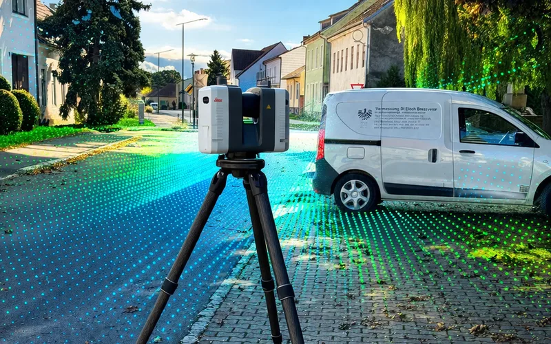
Laser Scanning & 3D Capture
Terrestrial laser scanning, point clouds, 3D models and as-built documentation. We capture buildings, facades, interiors and infrastructure to the millimetre.
For: Architects, heritage conservation, industry
Send enquiry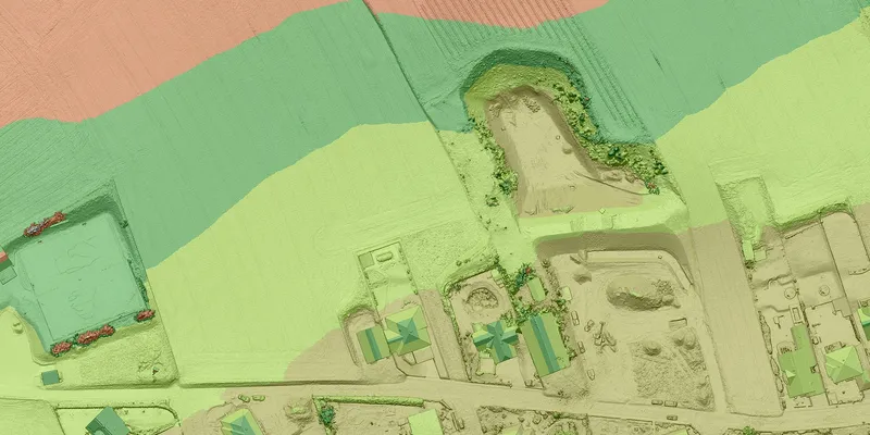
Geoinformation
GIS analyses, geodata management and spatial evaluations. We prepare your geodata for planning, administration and decision-making processes.
For: Municipalities, infrastructure operators, planners
Send enquiry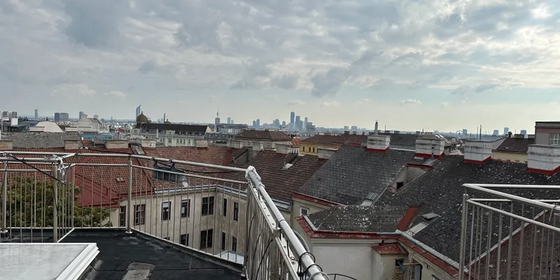
Utility Value Appraisals
Floor area calculations and condominium appraisals according to the Austrian Condominium Act. The appraisal is the basis for establishing condominium ownership.
For: Developers, property managers, owners
Send enquiryData you can base your planning on
We have been surveying for over 30 years and advise you in person. Our equipment is up to date.
Legally certified documents
As authorised chartered surveyors, we prepare official survey documents that can be submitted directly to the land register and survey office.
Current equipment
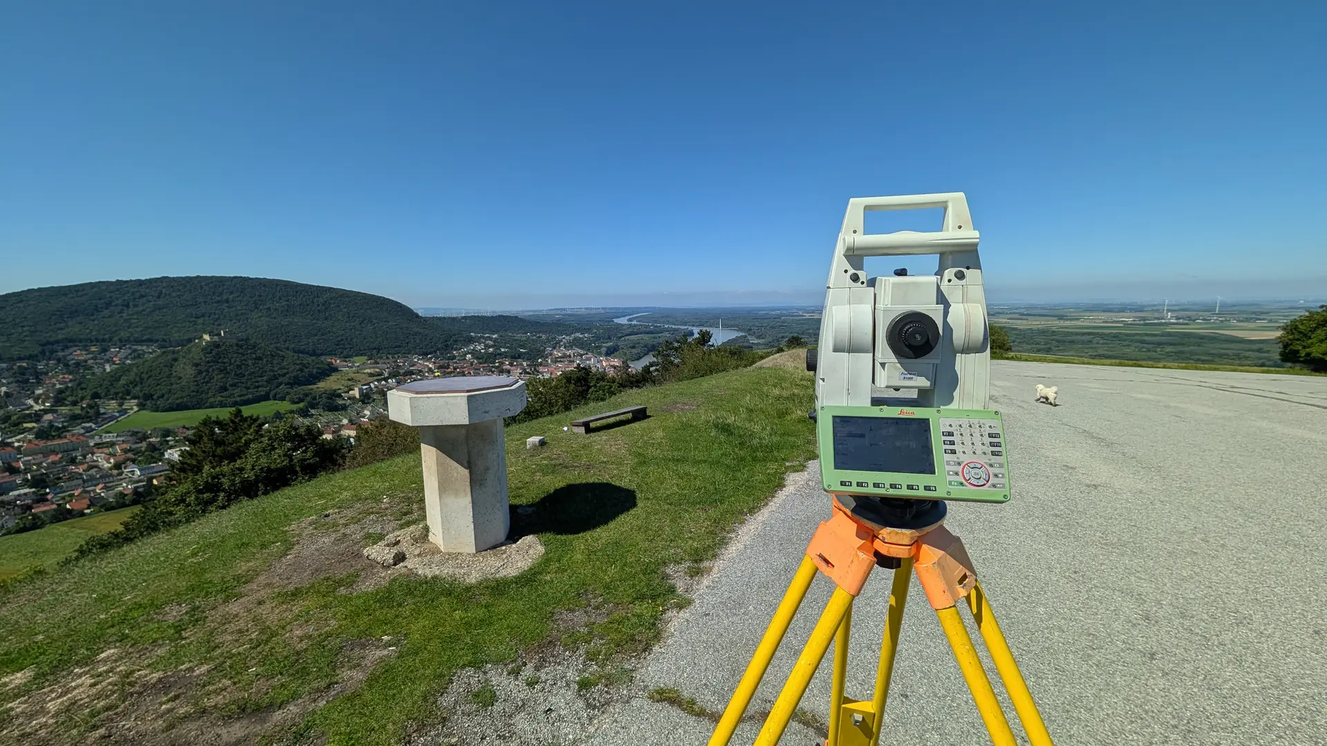
We work with RTK/GNSS, total stations, drones and terrestrial laser scanners, which lets us measure quickly and to the millimetre.
Personal support
Every project has a dedicated contact person. We advise you from the initial enquiry to the handover of the finished documents.
Locally present
With offices in Gaenserndorf, Mistelbach and Vienna, we get to you quickly and know the area.
Digital delivery formats
You get the results in the format you need: PDF, DXF, DWG, point cloud or ready for your GIS.
Orderly workflow
You always know where things stand, and we keep to the agreed dates. We deal with the authorities and coordinate the parties involved.
Results in four steps
How a job runs, from the first enquiry to the finished documents.
Send your enquiry
Describe what you need by form, email or phone. The more precise the details (parcel number, address, project type), the faster we can provide you with a quote.
Quote and clarification
We review the documents, clarify open questions and send you a quote that lists every item. If needed, we coordinate with authorities, architects or neighbouring property owners.
On-site survey
Our technicians measure on site with GNSS, total station, drone or laser scanner. Whether you need to be there depends on the task.
Receive results
You receive your plans, appraisals or 3D data in the desired formats. On request, we also handle the submission to authorities.
Typical tasks from practice
Jobs we regularly do for property owners, developers, architects and municipalities.
Cadastral
Property subdivision for housing development
Subdivision plan and boundary negotiation for dividing a plot into building lots. Coordination with the survey office and neighbouring property owners.
Engineering Survey
Site and elevation plan for building permit
Basis for the permit plans of a single-family house. We record the terrain, existing structures and property boundaries.
Drone Survey
Volume calculation at gravel pit
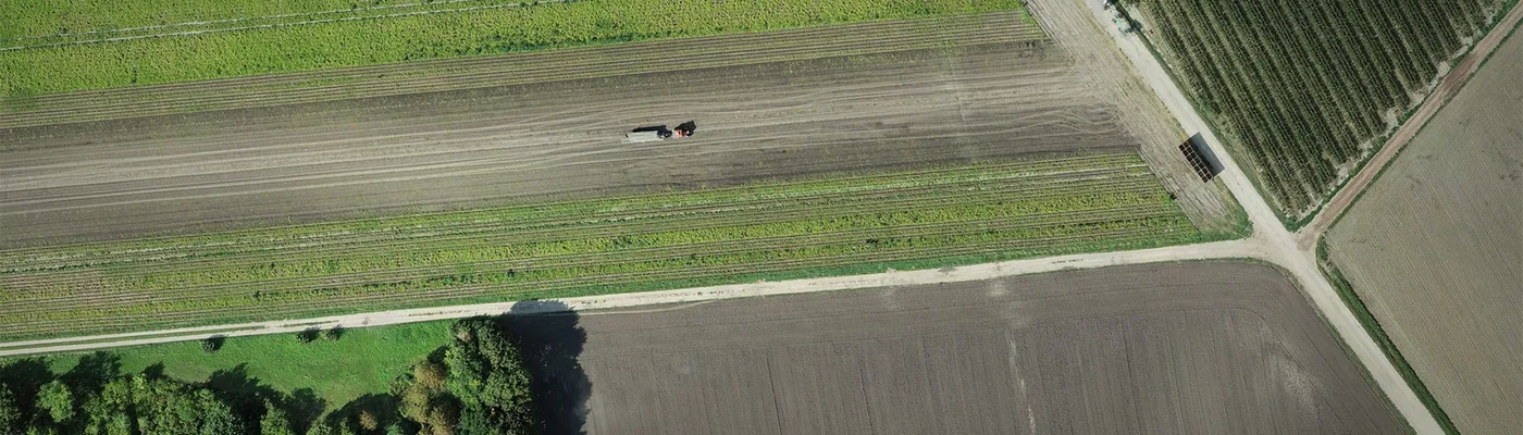
Regular drone flights for volume calculation. Digital terrain model and orthophoto as a basis for material balance.
Laser Scanning
Facade survey of heritage building
3D laser scanning of a historic building for renovation planning. Point cloud and facade plans as a planning basis.
Photogrammetry
Orthophoto and terrain model for municipality
Large-scale drone survey for a municipality. High-resolution orthophoto and digital terrain model for zoning and planning.
Utility Appraisal
Condominium appraisal for residential complex
Utility value appraisal for a residential complex with 24 units. Basis for establishing condominium ownership.
People who look closely
12 people at three locations. We take care over every project.

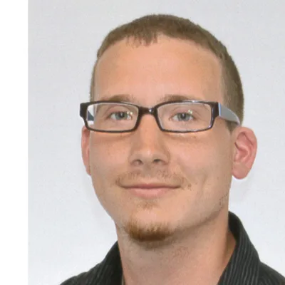
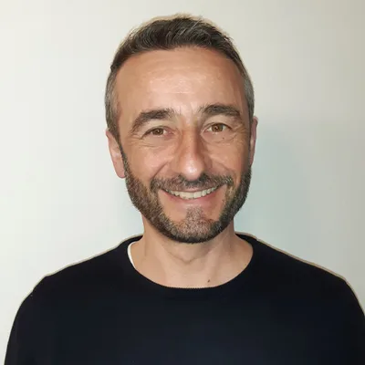

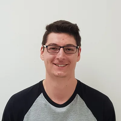
Elias Wernhart
Geodesy & Geoinformation Student, TU Vienna
Wien
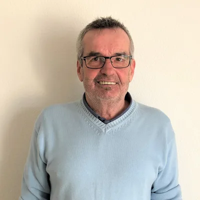
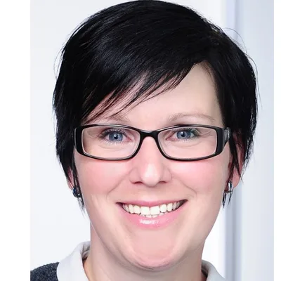
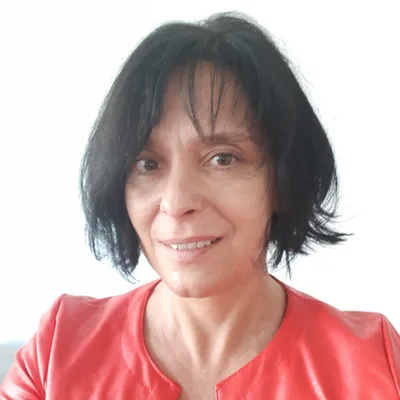
Nadine Ziegenbalg
Survey Technician
Gänserndorf

DI Markus Brezovsky
Survey Technician
Gänserndorf
Our offices
Three offices in Lower Austria and Vienna.
Gänserndorf
Hans-Kudlich-Gasse 5/2, 2230 Gänserndorf
Mo–Do 8:00–17:00, Fr 8:00–12:00
Mistelbach
Mondscheinweg 1/2/15, 2130 Mistelbach
Mo–Do 8:00–17:00, Fr 8:00–12:00
Our Gaenserndorf office has moved from Barbaraheimstraße to Hans-Kudlich-Gasse 5/2.
Frequently asked questions
What clients ask us most often about surveying and property.
A survey is necessary when you want to build, subdivide or sell your property, or when there are uncertainties about the boundary lines. For building permit applications, you typically need a current site and elevation plan. In case of boundary disputes, an official boundary determination provides clarity.
The most helpful details are the cadastral municipality and parcel number (found in the land register extract or on geoland.at), the property address, and a brief description of your requirements. With this information, we can quickly prepare a specific quote. If you don't have these details at hand, we're happy to help with the research.
Every property in Austria belongs to a cadastral municipality and has a unique parcel number. You can find both in your land register extract, purchase contracts, or online via the BEV property viewer (kataster.bev.gv.at) or geoland.at. We're happy to help you with the identification.
Costs depend on the type of survey, property size, number of boundary points and the effort involved. After your enquiry, we send you a quote that lists all services and costs. Official fees (e.g. for the survey office) are itemised separately.
At an official boundary negotiation, all affected neighbouring property owners are invited. Attendance is recommended as the boundaries are discussed and marked on site. If you are unable to attend, you may also send an authorised representative. We coordinate the scheduling with all parties involved.
By default, you receive plans as PDF. On request, we additionally provide digital formats such as DXF, DWG, point clouds (LAS/LAZ), GeoTIFFs, orthophotos or 3D models. We align the formats with your needs and the requirements of your planners.
In the boundary cadastre, property boundaries are legally binding and have full evidential value. In the fiscal cadastre (also called the land tax cadastre), boundaries are only informative and may differ from the actual boundary lines. A boundary determination by a chartered surveyor clarifies the exact course and can lead to inclusion in the boundary cadastre.
Subdivision plans and boundary documentation are submitted to the competent survey office. We handle the submission and take care of coordination with the authority. Site plans for building permits are forwarded to the responsible building authority (municipality or city administration).
Request a project
Select your location and describe your requirements. We will get back to you with a specific quote.
Our offices
Opening hours
Tip: For faster processing, please provide the cadastral municipality and parcel number if possible. You can find these in the land register extract or at geoland.at.
From the property boundary to the 3D model
Planning a project? We deliver the survey data for it, on time and in the format you work with.